History and Heritage
The discoveries of many remains of the past attest that the territory of the municipality of Tuchan was occupied at an early period of prehistory (Neolithic – Bronze).
At the time of “the Roman footprint” the plain, at the foot of Mount Tauch, was favourable for the establishment of some “Villae”, those very brief constructions however leave only the slightest trace. Some newer updated substructures from the end of the nineteenth century, and the funeral rites perpetuate the memory (burials site of the “Camp de l’Hiera”, “Saint Frichoux”) those of “camps” reveal the presence of Wisigoths in the region during the fifth centuries.

The village
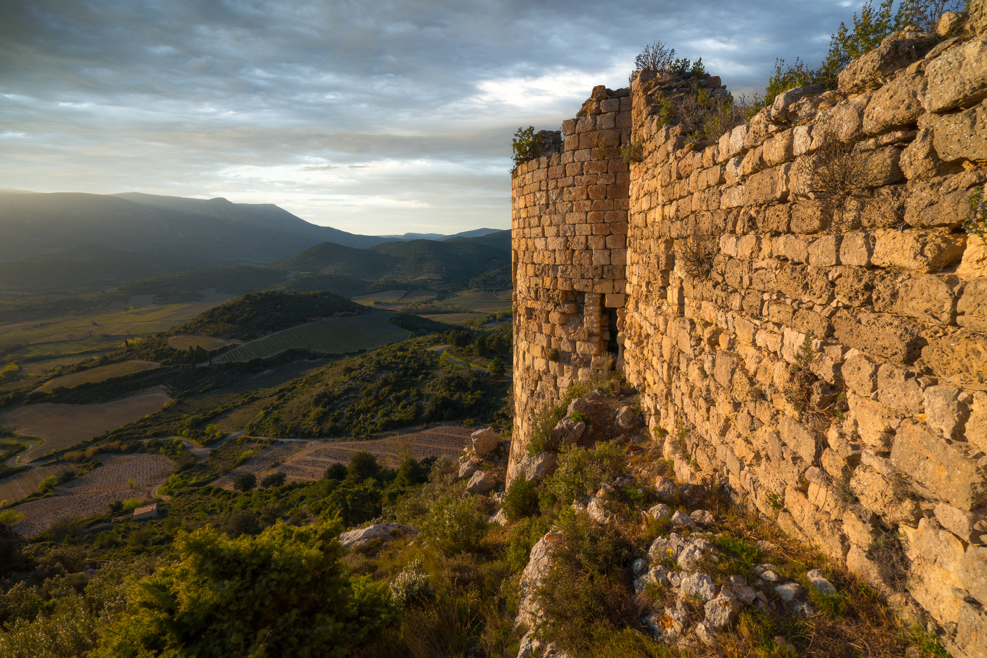
Since December 6, 1790, Tuchan has been the capital of the commune located in the department of Aude. A few months earlier (August 6, 1790), the communities of Domneuve, Nouvelles, Notre Dame de Faste with Ségure and the former royal castle of Aguilar had been united on its territory. In 1789, its population was 577 inhabitants, increased to 1811 in 1887, it fell back to today’s number of 817 permanent Tuchanais; this number swells considerably during the Summer months.
Originally, this territory which was owned by local nobilities became, after the Treaty of Corbeil (1258), the border between France and the Aragon and, after 1492, with Spain (Fusion Aragon Castile). This small corner of land was going to become, in the aftermath of the Treaty of the Pyrenees (1659), one of the hinges on which the two provinces of Languedoc and Roussillon came to be joined.
The strategic situation of the borough explains how much, until this treaty, the agglomeration suffered from multiple incursions. From 1495, Tuchan was the scene of frequent battles and also a place of passage for the troops of the King of France. In 1525, the village fell into the hands of the Spaniards; the inhabitants, made prisoners, were released only at the price of a ransom. In 1543, the locality was ransacked.
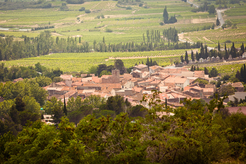
The center of the current buildings, of approximately circular shape, shows the remains of the “Fort”. This form of town planning appeared in the 11th century around a church and in the following century around a castle. It has therefore retained, at least partially, its defensive and medieval character. A zone of gardens, in the north western part of the village, indicates that the agricultural functions of the locality were probably complementary to its defensive functions. This enclosure had an enclosure accessed by two gates and defended by two towers, all surrounded by a ditch.

The west door, adjoining the church, has disappeared. That of the eastern part opens under a reworked semi-circular arch. The so-called Russon tower, in the North-West, was destroyed towards the end of the 18th or the beginning of the 19th century. The Clock Tower, adjoining the church, which also served as a prison, still exists and was somewhat remodelled in the last century.
